
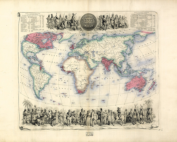
The map titled British empire throughout the world exhibited in one view, 1850, by the cartography firm of John Bartholomew, illustrates the British Empire’s vast holdings of land and people. SOURCE: LIBRARY OF CONGRESS

Discovery: Research at Princeton
Findings, feature articles, books and awards from Princeton University researchers
The map titled British empire throughout the world exhibited in one view, 1850, by the cartography firm of John Bartholomew, illustrates the British Empire’s vast holdings of land and people. SOURCE: LIBRARY OF CONGRESS